
Sunday Sunny |
Monday Sunny |
Veterans Day  Mostly Sunny |
Wednesday Mostly Sunny |
Thursday Rain Showers Likely |
Friday Chance Rain Showers then Chance Snow Showers |
Saturday Chance Snow Showers then Chance Rain Showers |
|
| High: 67 °F | High: 68 °F | High: 69 °F | High: 63 °F | High: 57 °F | High: 44 °F | High: 45 °F | |
Overnight Clear |
Sunday Night Clear |
Monday Night  Partly Cloudy |
Tuesday Night Partly Cloudy |
Wednesday Night Partly Cloudy |
Thursday Night  Rain Showers Likely |
Friday Night  Chance Snow Showers |
|
| Low: 35 °F | Low: 36 °F | Low: 36 °F | Low: 38 °F | Low: 35 °F | Low: 29 °F | Low: 22 °F | |
Ben's WX Summary
- Updated: Sunday @ 12:26am
Enjoying very nice weather this weekend with above normal temperatures and dry conditions continuing. That will change next week as a pattern shift transpires, bringing cooler, more unsettled weather to the region with rain and mountain snow looking increasingly likely. Expect sunny skies out there today with temperatures still running 10-15 degrees above average as highs top out in the mid to upper 60s. A weak offshore flow will bring light east-northeast winds 5-15 mph, a little gusty below passes and canyons. Little change through early this week with a gradual cool-down through the middle of the week. By Thursday, a broad low-pressure system will deepen off the West Coast, for increasing clouds and winds. Rain showers are expected to develop sometime on Thursday, lingering into Friday and possibly the weekend. This will be a fairly potent closed low-pressure system, so the timing for the onset of precipitation may change in the coming days. Forecast models also still diverge on precipitation totals and snow levels. Initially, this will be a warmer storm tapping into subtropical moisture and weak AR, so we'll likely start off with rain changing to snow sometime Friday into the weekend. Preliminary rainfall estimates of 1/2-1" look reasonable, with higher amounts possble on the lower coastal slopes of our mountains and further to the west. The snow level will likely stick above 7,000-8,000 feet through much of this storm, dropping along and behind the cold front with snow showers possible over the weekend. QPF's do support snowfall accumulations of around 6-12 inches above 8,000 feet, with lesser amounts below that, but again, timing and intensity may change. Another storm may follow early next week, so check back often for updates and be sure to start carrying those tire chains!
| Current Conditions | Wind | Rain | Outlook | ||||||||||||||||||||||||||||||||||||
|
|
|
|
||||||||||||||||||||||||||||||||||||
| Humidity & Barometer | Snowfall | Moon | |||||||||||||||||||||||||||||||||||||
|
|
|
|||||||||||||||||||||||||||||||||||||
| UV Index | Solar Radiation | ||||||||||||||||||||||||||||||||||||||
|
|
||||||||||||||||||||||||||||||||||||||


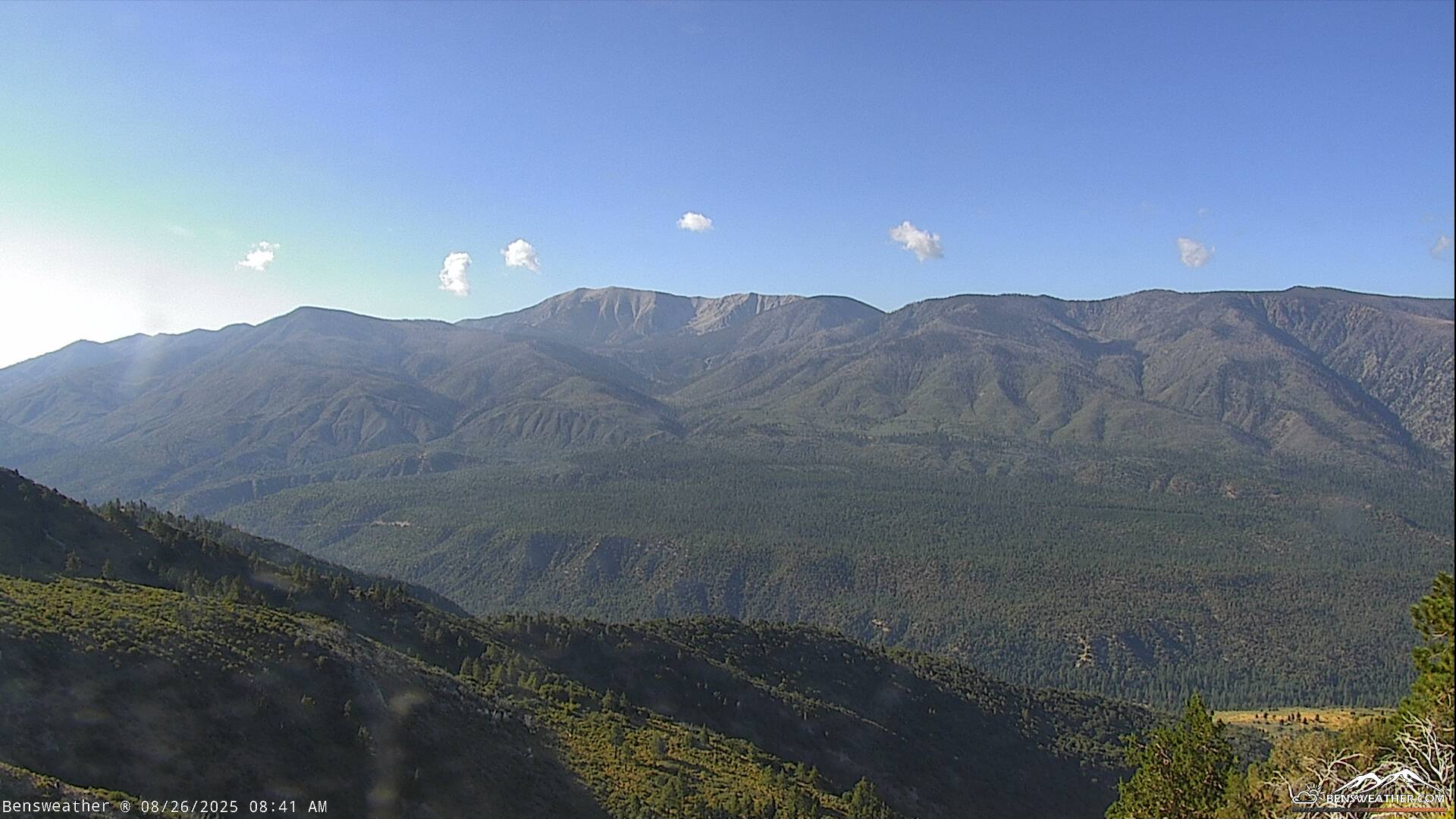
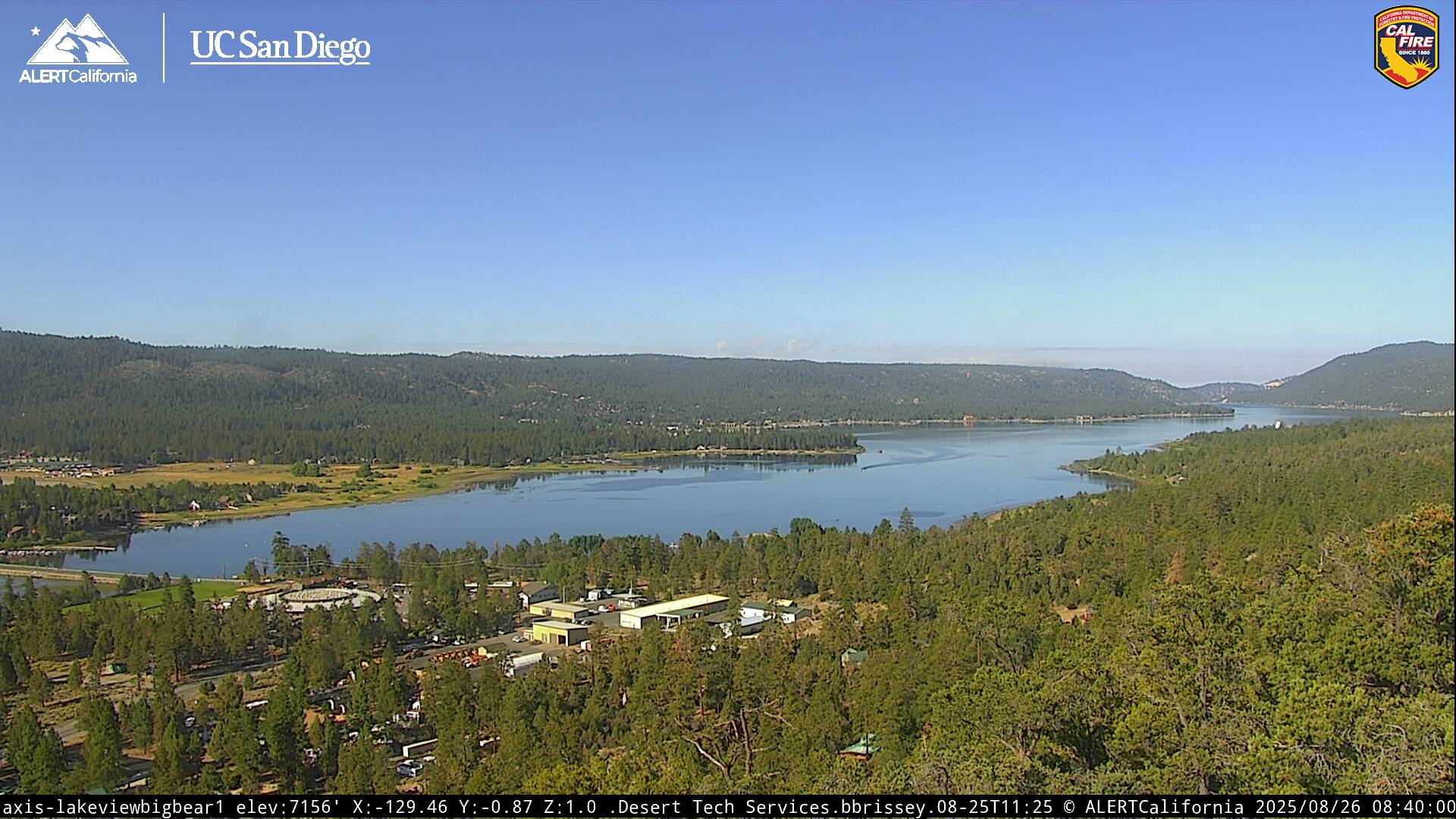
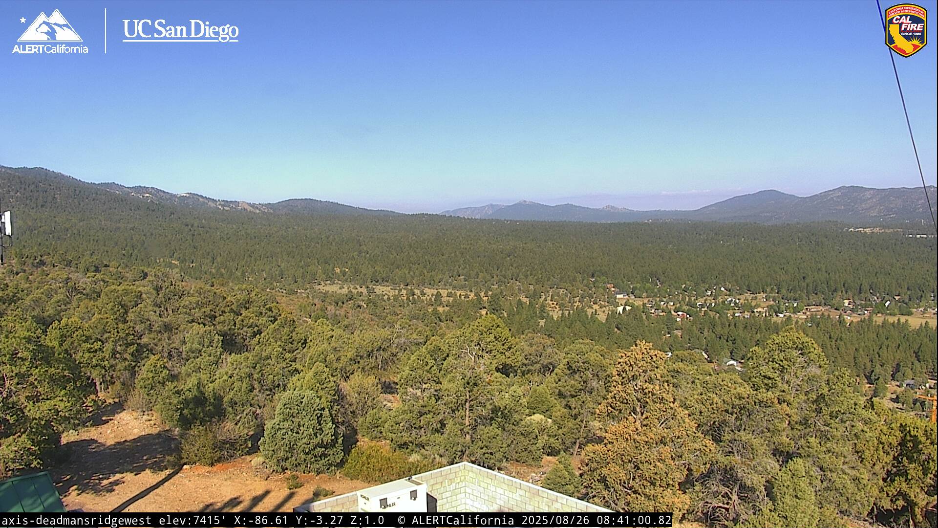
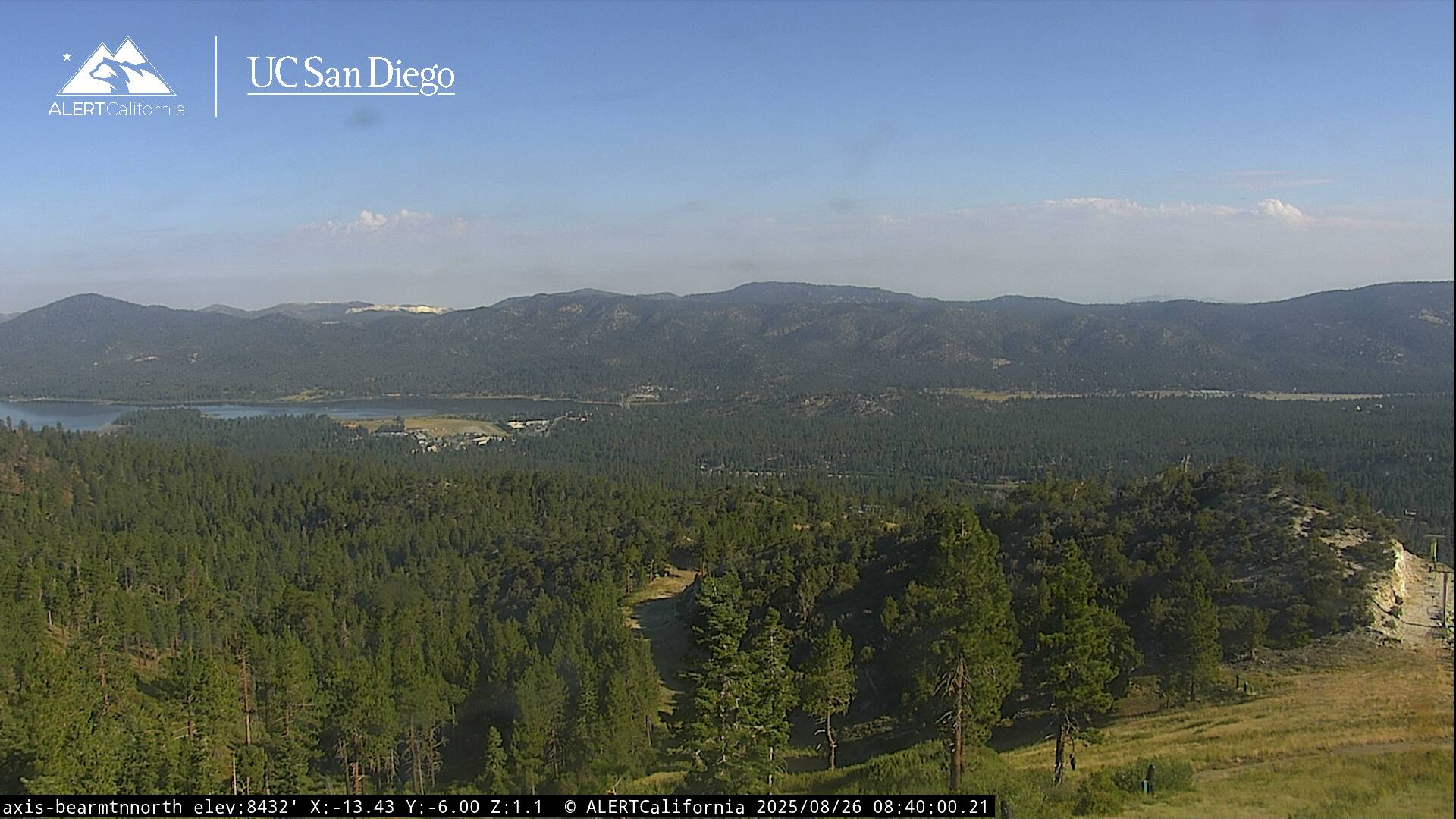
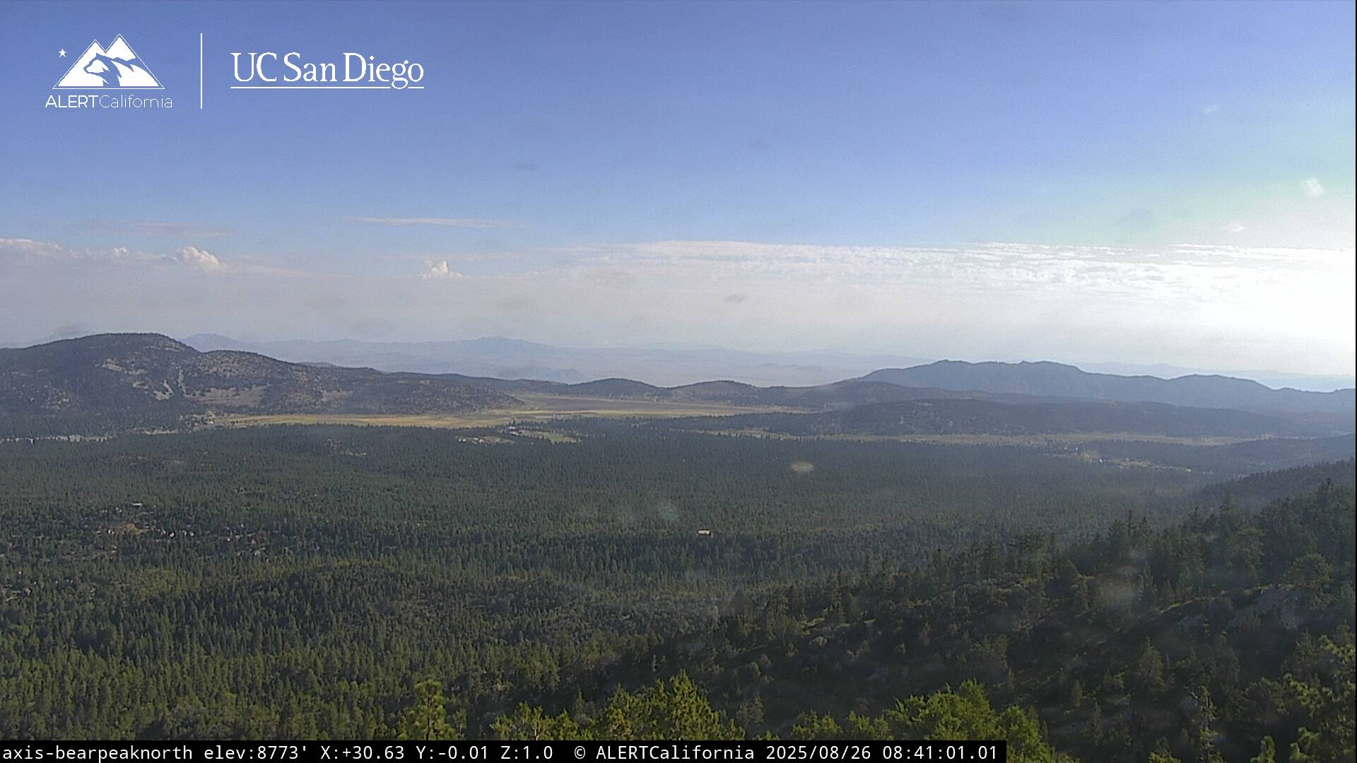
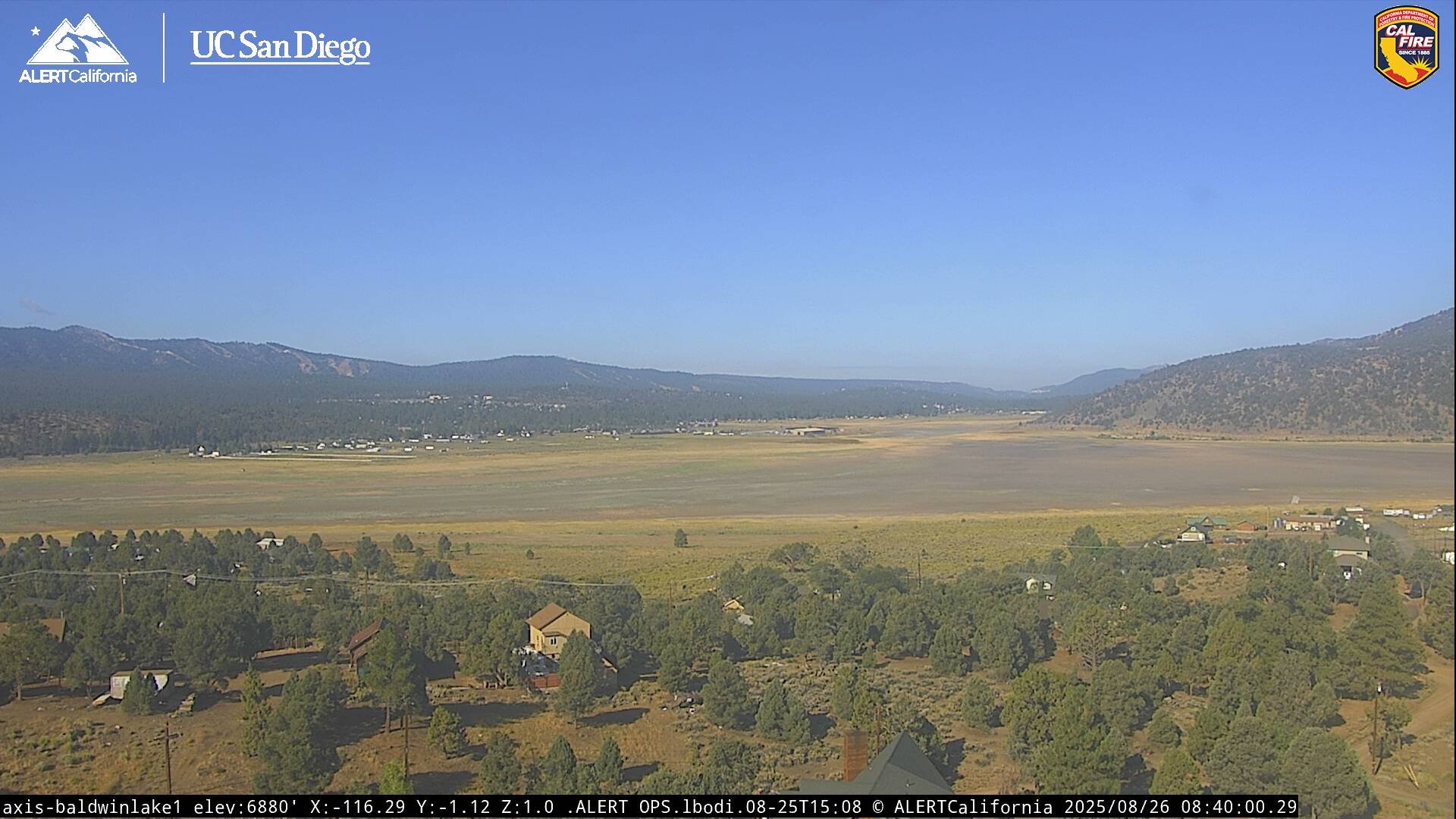
Live Cams